
TBD MAGNOLIA DRIVE, OCKLAWAHA, FL
Description
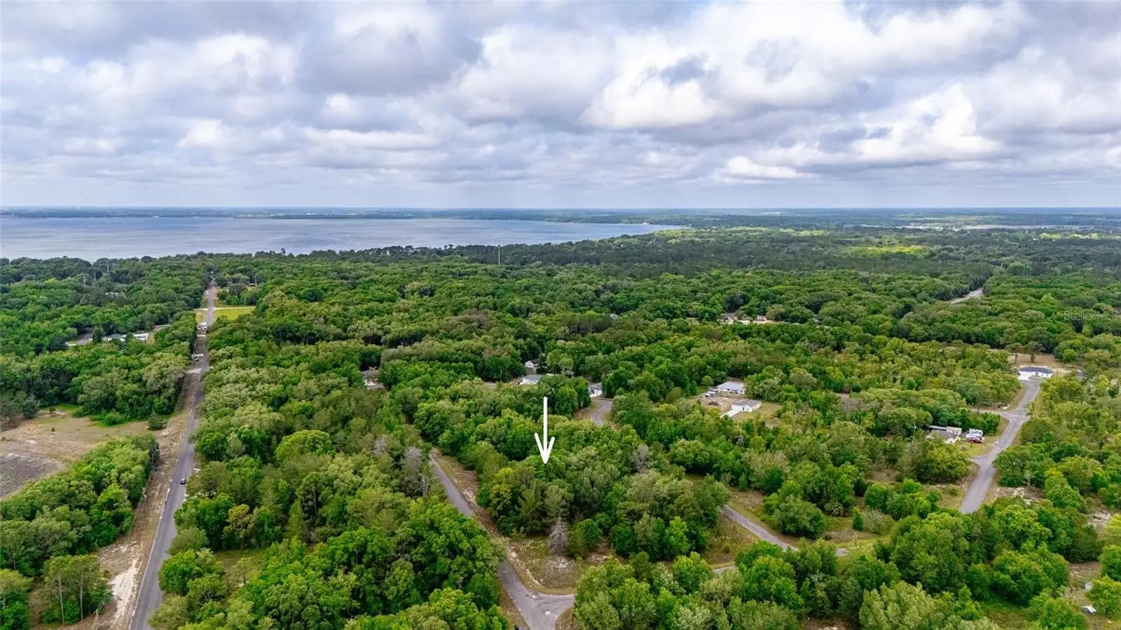
Escape to your own piece of natural Florida on this private, wooded 0.23-acre residential lot in Silver Springs Shores, Ocklawaha — a growing community in Marion County where nature and neighborhood meet. Lined with mature Florida hardwoods, oaks, and native vegetation, this lot offers the kind of natural privacy that is increasingly rare in a developing market. The canopy provides natural shade and a sense of seclusion while sitting directly on a paved asphalt road in an established residential subdivision — giving you the best of both worlds: wilderness feel with civilized access. A brand new home is currently under construction on a nearby lot, confirming that this neighborhood is actively developing. Property Details: - 0.23 acres (80' x 125') - R1 zoning — site-built OR manufactured home permitted - Paved road access — Magnolia Drive, asphalt surface - Wooded — mature Florida hardwoods and native vegetation - Natural privacy — established canopy throughout - No HOA and no deed restrictions - Electricity available nearby — utility poles on street - Well and septic required (standard for Silver Springs Shores) - Annual property taxes: $155/year - Tax deed certified — clear title, recorded with Marion County Clerk - No liens, no encumbrances The Natural Florida Lifestyle — What's Nearby: - Lake Weir — 5,600-acre recreational lake minutes away. Boating, fishing, kayaking, and swimming. Carney Island Recreation & Conservation Area on the lake's edge offers beaches, boat ramps, and picnic areas. - Ocala National Forest — America's southernmost national forest begins practically at your doorstep. 600,000 acres of natural springs, hiking trails, off-road vehicle trails, and freshwater fishing. - Silver Springs State Park — Glass-bottom boats over Florida's famous natural springs, kayak trails, and wildlife viewing. - Ocala — 20 minutes north with full urban amenities, top-rated medical facilities, and Interstate 75 access. Documents Available on Request: Marion County tax deed (certified and recorded), Marion County Property Appraiser parcel record, professional drone photography package (10+ images including aerial with Lake Weir visible), GIS parcel map with boundary overlay.
Verified by bzaico
Identity-confirmed broker, license checked against the state board on the day of listing. Title and tax records cross-referenced by RENA. Discrepancies, if any, are surfaced in the deal room.